Information from Carroll County GA
The National Weather Service (NWS) held a Special Weather Briefing today in reference to the potential for severe weather tonight through Friday morning in our area.
Summary
- The potential for severe weather increases overnight tonight for our area
- Primary storm threats
- Damaging winds 60-70 mph
- Hail 1 – 1.5”
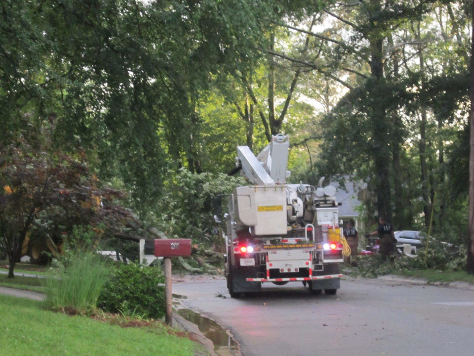
- A few tornadoes
- Severe potential shifts south across the area late tonight through Thursday
- Additional severe storms expected Thursday night into Friday morning with a separate wave
- Rainfall totals of 1 to 3 inches area wide with locally higher amounts of 4+” possible through Friday morning
Timing
- Later this evening/overnight
- Severe Weather Potential Level 2 out of 5
- Primary storm threat becomes damaging winds >60 mph with a brief embedded tornado possible
- Thursday
- Severe Weather Potential Level 3 out of 5
- Round 1 late Thursday morning into afternoon
- Storm intensity could weaken for a few hours (early to mid-morning) BUT storms could intensify again over our area before exiting our area to the south.
- Primary Storm Threats
- Damaging Winds > 60 mph
- Tornadoes
- Hail up to 1.5”
- Thursday Night/Early Friday
- Severe Weather Potential Level 3 out of 5
- Round 2 Thursday night likely after midnight
- Primary Storm Threats
- Damaging Winds > 60 mph
- Tornadoes
- Hail up to 1.5”


