Monday’s weather is shaping up to be active and potentially dangerous as a strong line of storms moves through east Alabama and west Georgia from mid to late morning into early afternoon. The National Weather Service has placed the area under an Enhanced Risk (Level 3 out of 5) for severe weather, meaning a heightened threat of strong storms.
- Damaging Winds – Gusts between 60-70 mph could bring down trees and power lines, leading to power outages.
- Tornadoes – Several tornadoes are possible, with the highest risk in east-central Alabama and west-central Georgia.
- Large Hail – Some storms may produce hail up to 1 inch in diameter.
- Heavy Rain & Flash Flooding – Stronger storms could bring locally heavy rain, increasing the risk of isolated flash flooding.
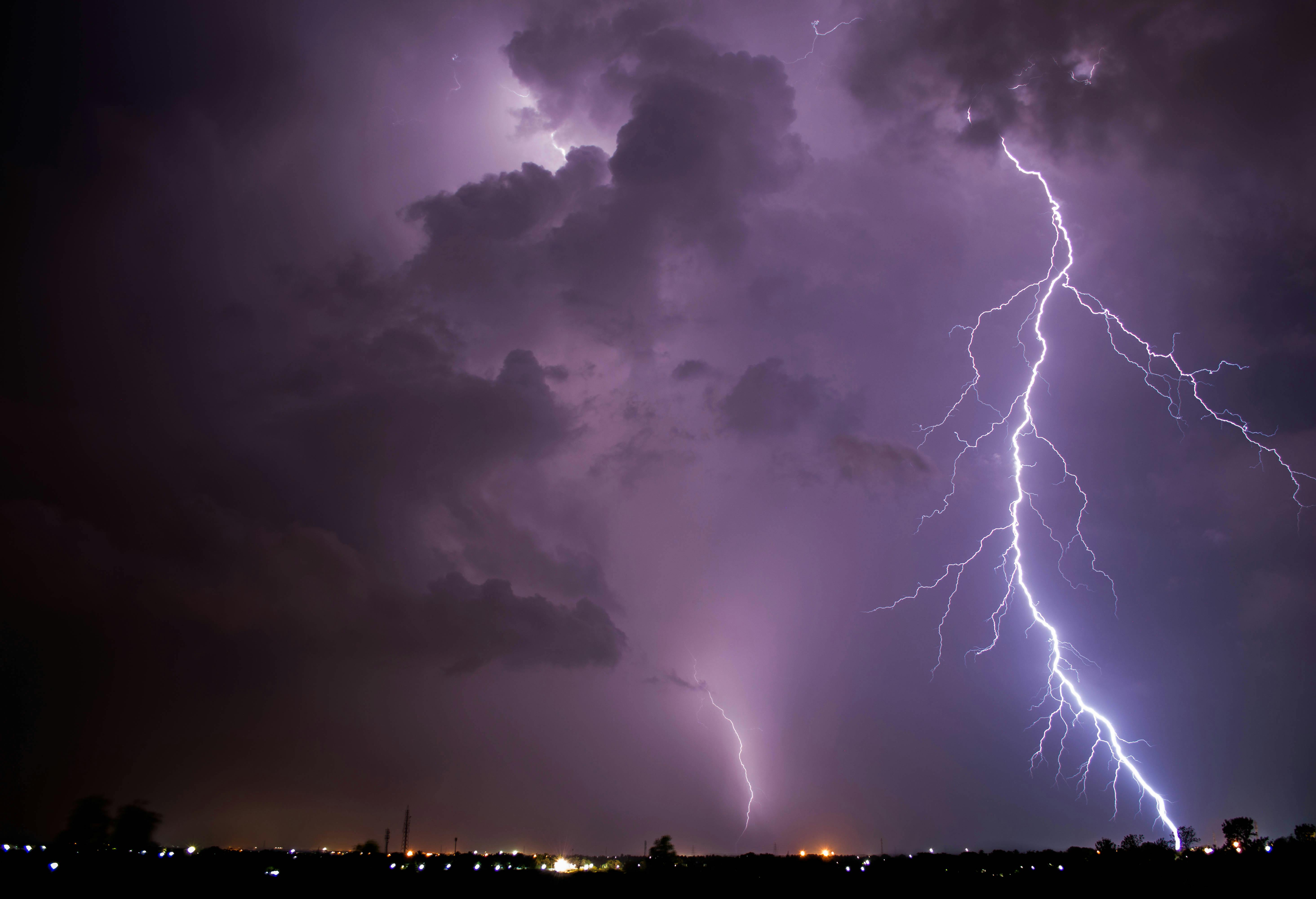
- Frequent Lightning – Lightning strikes will be widespread, adding another hazard to the storm system.
The line of storms is expected to move through the region from mid to late morning into early afternoon. The strongest storms could develop quickly, so residents should stay alert for warnings and updates.
- Have multiple ways to receive weather alerts (NOAA Weather Radio, mobile alerts, etc.).
- Secure outdoor objects that could become airborne in high winds.
- Avoid travel during the worst of the storms if possible.
- Be ready to take shelter quickly, especially if a tornado warning is issued.
Meteorologists have high confidence that severe storms will occur, with a medium-to-high level of certainty regarding the exact intensity and timing. Stay tuned to local forecasts for real-time updates as conditions develop. This information was provided from the National Weather Service and Carroll County Sheriffs Office EMA.


