
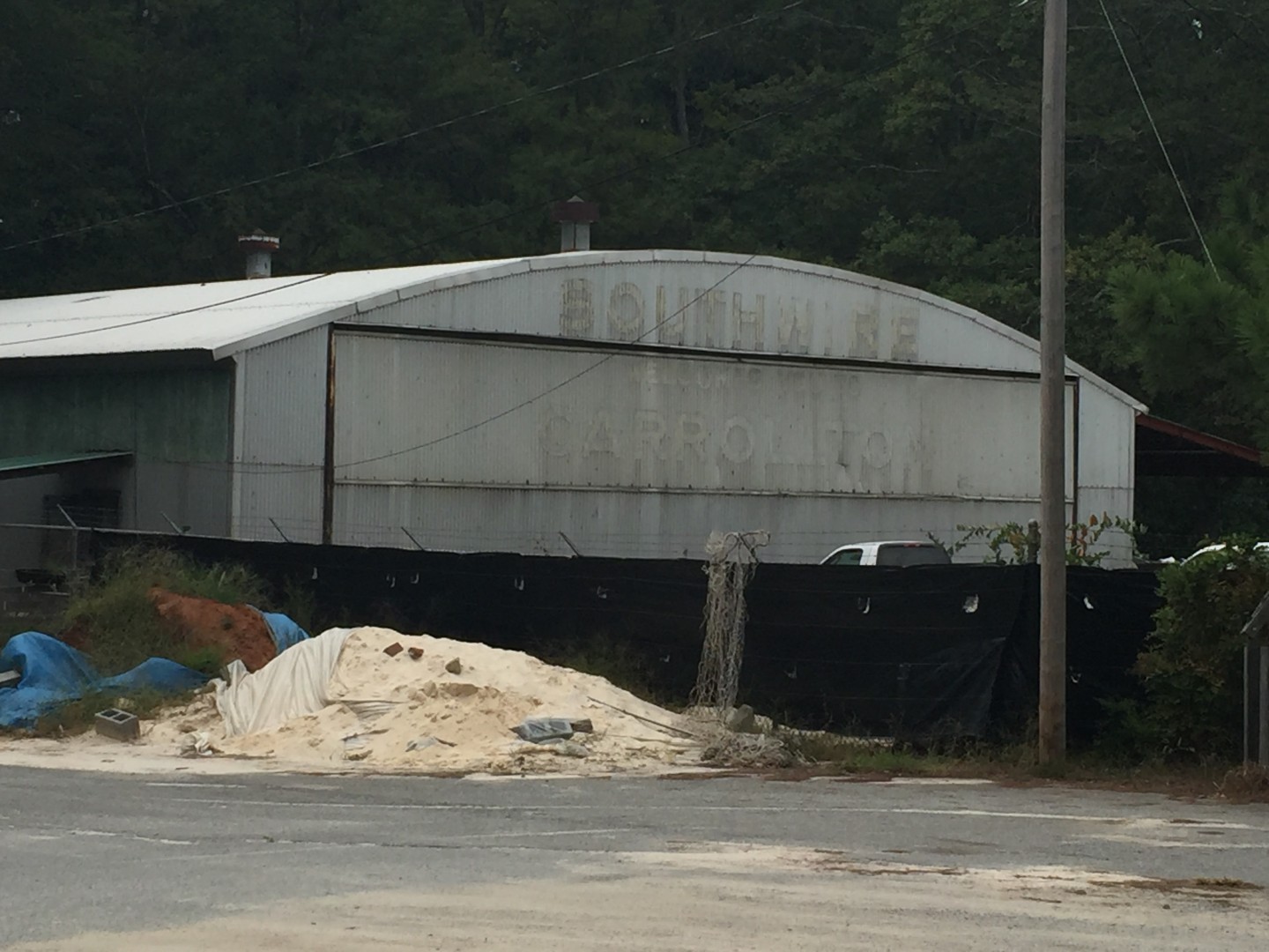
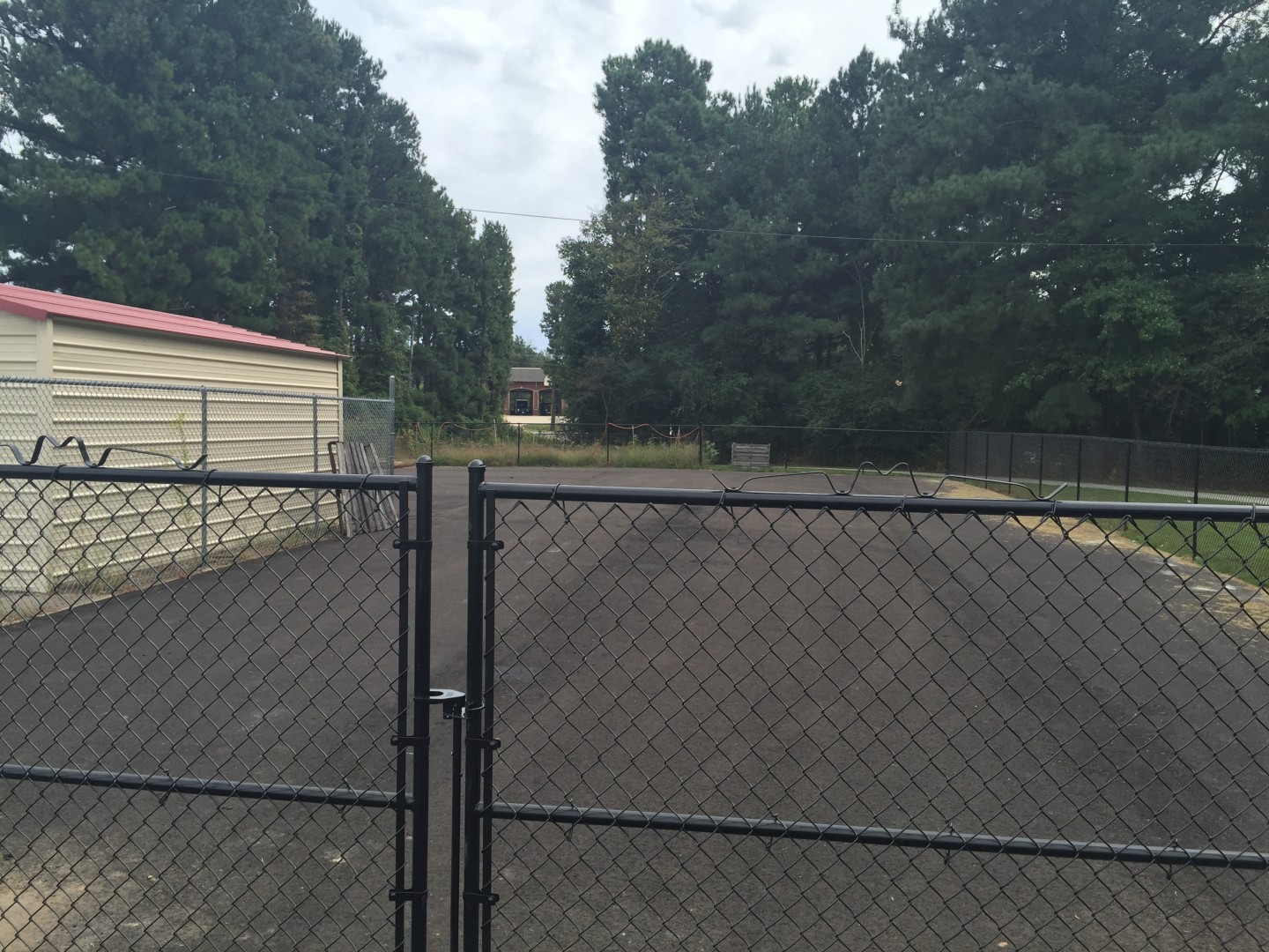
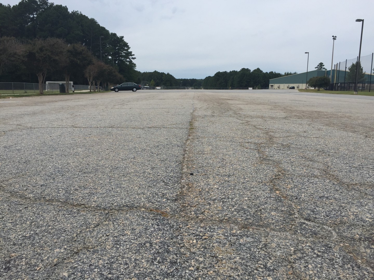
Our Library adventures from this past weekend led us to the former spot of the Carrollton Municipal Airport. A map from the Carrollton Planning Commission book showed the former Airport near Lake Carroll, where now sits the East Carrollton Ballfields and Soccer Fields off North Lake Drive. The former Airport Road, which was between the Food Depot and Fire Station, is now Fire Station Drive and links Bankhead Highway with the area next to The Chamber of Commerce and East Carrollton Park. In our research, we stumbled upon a website called Abandoned and Little Known Airfields which features several former Airports in the Atlanta Metro Area. Originally the Carrollton Municipal Airport started with an unpaved runway; it was then, according to this particular website, paved between 1958-1960. The runway was 3,100 feet. The Carrollton Municipal Airport was closed between 1971 and 1972 when the new West Georgia Regional Airport went into full operation. You can click here to visit the Abandoned and Little Known Airport website. A few pictures are a bit outdated on the website so we went to the former Airport area and snapped some photos! Enjoy!


