
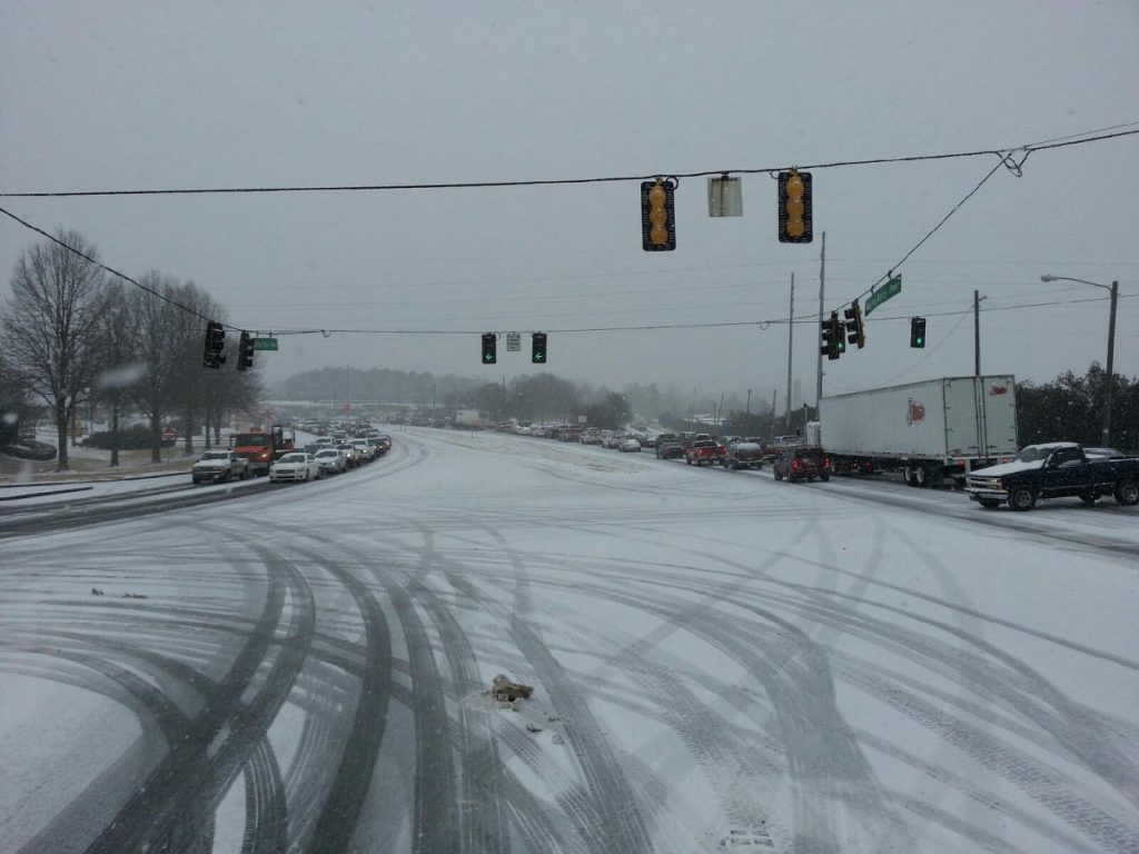
Chances of seeing snowfall across west Georgia this weekend area are increasing, according to meteorologists from the National Weather Service.
Experts say weather models are beginning to show a higher likelihood of wintery precipitation occurring late Friday night into Saturday morning.
“As of now, it looks like we are showing about a 40 percent chance of seeing snowfall around Carrollton,” said Laura Belanger, a meteorologist with the NWS. “We’re looking at several different models, which are starting to line up a little more to indicate that we could see some accumulations across west Georgia.”
Belanger said some NWS weather models show no chance of snowfall, while others show up to four inches across the metro Atlanta area.
“We’re still a few days in advance, so there are a lot of things that have to come together for us to see snowfall,” said Belanger. “There’s still lots of questions as to how much could accumulate.”
Belanger noted that temperatures on Friday will hover around 32 degrees, and later bottom out at 26 degrees early Saturday morning. Highs Saturday will likely reach 39 degrees.
“We have an arctic air mass moving in with low temperatures, which means any snow that does accumulate is going to stick around for a while,” said Belanger. “Certainly by tomorrow, we will have a much better idea of whether we will see snow or not.”


