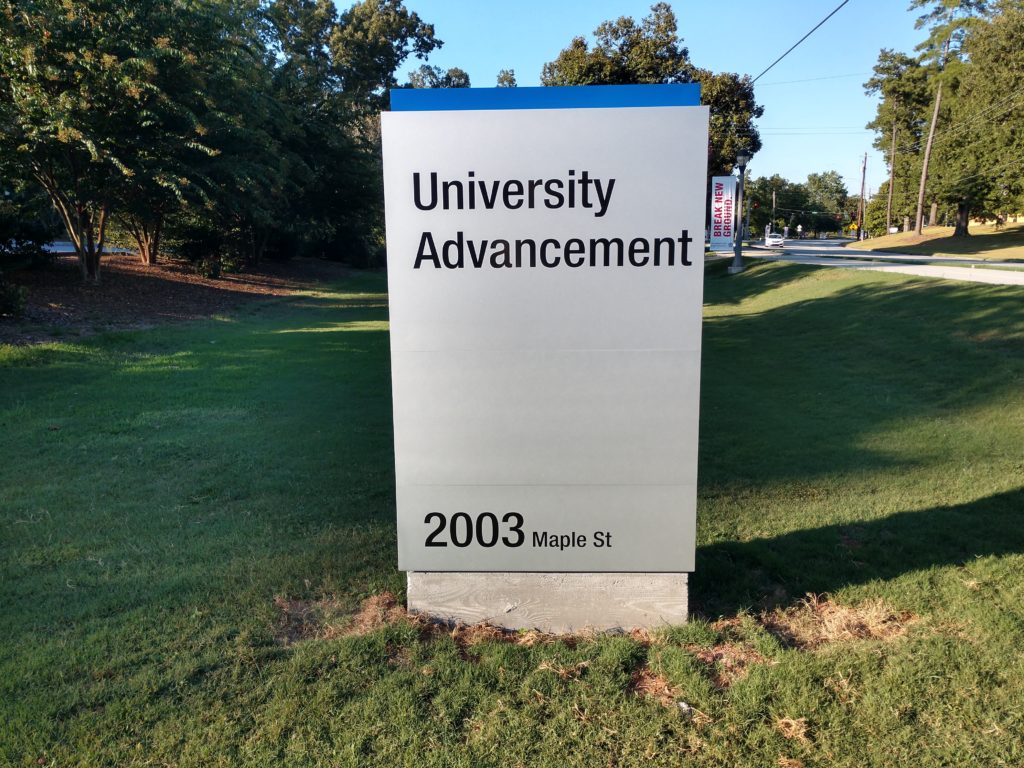
If you’ve been around UWG in Carrollton recently, you may have noticed a lot of “out with the old and in with the new” when it comes to signage on campus. This is part of the UWG Wayfinding Master Plan project that Brendan Bowen, Associate Vice President for Campus Planning and Facilities first initiated three years ago.
“Since my arrival on campus in 2011, I recognized the need to update and modernize our wayfinding program on campus,” Bowen said in an email response to The City Menus. “The original signs served their purpose well, although they were showing their age and seemed to be less and less effective as campus expanded. In 2016, I worked with our Planning Analyst, Laura Kowalski (whose graduate work specialized in wayfinding) to assemble a cross-divisional committee to oversee the development of a new wayfinding system. We worked with graphic design firm Guide Studios to develop a Wayfinding Masterplan Framework that was approved by university leadership in spring 2018,” he added.
According to Bowen, the new signage system was developed to achieve the following goals:
- Develop an authentic and meaningful wayfinding system to enhance the visitor experience, exceed their expectations and attract new students, community partnerships and events.
- Increase positive perception of the university experience with a consistent, recognizable and inviting sign family that creates a welcoming atmosphere.
- Establish clear and concise messaging that utilizes consistent nomenclature, while aligning with the website, maps and other communication pieces.
- Produce easy-to-maintain and expandable signage to allow necessary changes and updates due to the ongoing developments.
- Highlight the University brand and a sense of place through consistent and exciting signage and wayfinding devices.
- Create a wayfinding program that relates to existing signs so that the transition from old to new signage is as visually seamless as possible.
One major benefit of the new signage is the fact that it publicly announces the actual street addresses for the various buildings on campus. Bowen stated, “We included addresses to buildings for two reasons. First, we found that the University address of 1601 Maple Street is not helpful in helping visitors navigate our campus. The street addresses for each building allow visitors to navigate directly to their destination using the online map of their choice. Event promoters can include the address in their published information, and then visitors can search on their phone or PC. The more frequently visitors “Google” our addresses, the better the results will be. Secondly, addresses allow emergency responders to locate our buildings more quickly in the event of an emergency.”
Bowen stated that Phase One, which will be completed this fall, includes the main entrances for the university, building names, and building signs with addresses. Phase Two was awarded in July and will be completed in spring 2020. This phase will include vehicular and pedestrian directional signs, map kiosks, and parking and transportation signage. It is anticipated that the entire project will be completed by the end of next spring.
For more information on the Wayfinding Project, visit the following links:
- Wayfinding Master Plan Framework (pdf, 12.8MB)
- Signage Location Map (ArcGis Map)


