As of 8:30am on Wednesday, April 6:
The National Weather Service (NWS) provided the information below in reference to the severe weather potential today.
Summary:
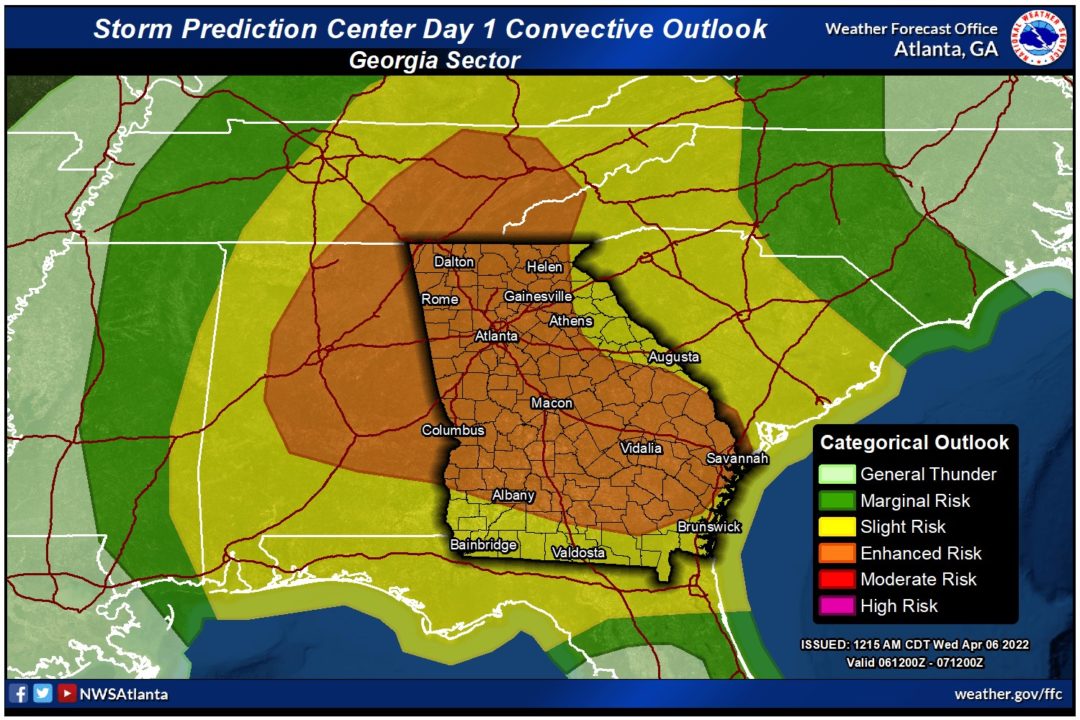
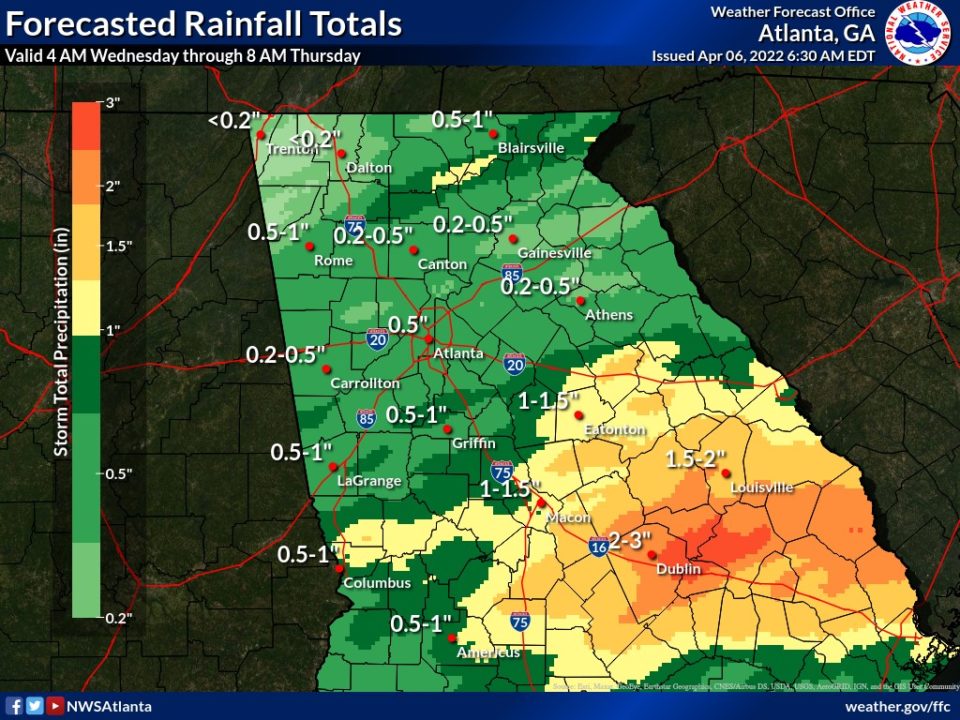
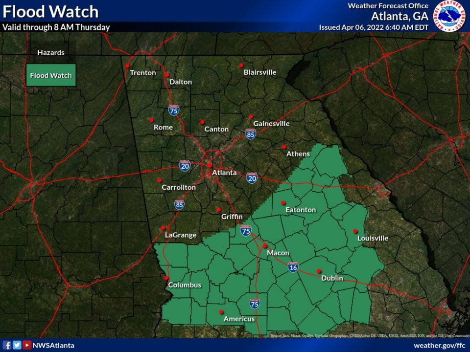
Several rounds of showers and thunderstorms are expected through Thursday morning, with storms having the potential to become strong to severe.
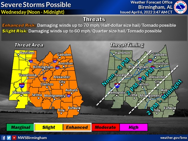
- There are two separate areas of concern within an Enhanced Risk (Level 3 out of 5) across much of east Alabama and north and central Georgia:.
- Numerous showers and storms will develop along a remnant outflow boundary across south central Georgia this afternoon spread northward, remaining primarily south of I-20
- A line of showers and thunderstorms associated with an advancing cold front will enter east Alabama and West Georgia late this evening and move southeastward through the night
Primary Hazards:
- Damaging wind gusts
- Large hail, 1-2″+ possible
- A few tornadoes
Timing
- Area 1 (along and south of I-20): Noon through 8PM
- Area 2 (along the cold front, beginning NW Alabama and entering NW GA): 6PM through early Thursday morning
Today’s storms will be more widely scattered than yesterday’s event but increased day time heating will allow more storms to possibly reach severe levels.
Please Stay weather aware today and monitor the situation this afternoon and evening.
For more information, refer to the graphics from the National Weather Service below.

